Large-scale geohazard prediction with multiscale random fields
Liquefaction is one of the major earthquake-induced geohazards.
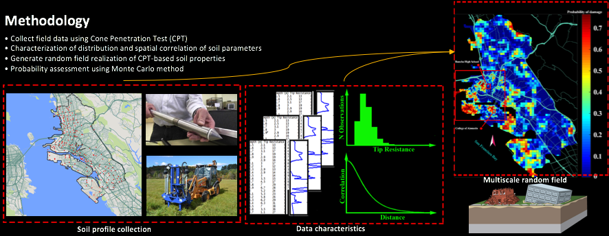
In this research, we estimate the liquefaction potential at individual locations and then use a novel multiscale random field model accounting for spatial variability of soil properties to estimate the liquefaction-induced hazard over a large-scale region.
One important advantage of the proposed framework is its ability to consistently refine and provide liquefaction estimations across different scales, from regional and geologic unit scale all the way to local site-specific scale.
The proposed methodology is applied to an earthquake-prone region, the Alameda County of California, for the probabilistic and spatial assessment of liquefaction-induced settlements, predicting quantitatively consistent results with existing analysis and knowledge of the earthquake hazard in the studied region at different scales.
Paper link:
C. Wang, and Q. Chen, A hybrid geotechnical and geologic data-based framework for multiscale regional liquefaction hazard mapping, Géotechnique, 2018. https://doi.org/10.1680/jgeot.17.P.074

···